TALLAHASSEE, Fla. (WTXL) — Rafael turned into a major hurricane Wednesday afternoon as it moved into the western side of Cuba and near the nearby Isle of Youth.

Rafael has peak winds of 120 mph as of early Thursday morning, continuing its journey to the west at 9 mph. The path becomes jumbled as it tries to move north before being knocked back to the south thanks to an area of troughing in the southern U.S. this weekend.
A high pressure system to our east is helping to keep this system on a northwest path. A second high-pressure zone over the Southeast will guide Rafael on a more westerly track for the last part of this week. These features will keep the core of Rafael far away from the Big Bend, and there is no chance for it to make landfall in our region.

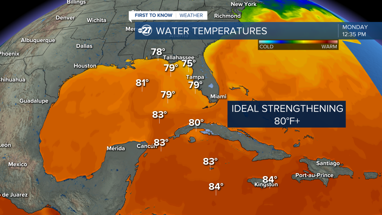
Rafael then heads for cooler sea surface temperatures and increased wind shear in the northern side of the Gulf which helps to weaken the system back to a tropical storm late week as it churns over the waters this weekend.

The biggest local impacts from future Rafael at this time are likely to be some increased rain chances, rip currents, and some rough surf for boaters and coastal areas through the end of the week. The weekend will bring only spot shower chances, but warm and humid conditions stick around.
This storm is not Milton or Helene, but we will keep a close eye on the tropics as we head into the end of hurricane season which is November 30th.
Stay tuned to ABC 27 First To Know Weather for the latest on the tropics.


