TALLAHASSEE, Fla. (WTXL) — The area we have been watching in the Caribbean is now Tropical Storm Rafael, located south of Jamaica in the central Caribbean Sea.

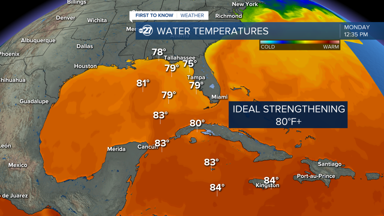
Rafael is expected to strengthen steadily into a Category 1 hurricane before making landfall along the western coastline of Cuba Wednesday.
A high pressure system to our east is helping to keep this system in the western Caribbean and allow it to slowly move towards the Gulf of Mexico as it strengthens during the early part of the week.

Rafael then heads for cooler sea surface temperatures and increased wind shear in the northern side of the Gulf which helps to weaken the system back to a tropical storm late week as it churns over the waters by late-week and early weekend.

By Thursday, Rafael will begin to encounter upper-level wind shear. This will make strengthening difficult, and the system will begin weakening steadily before a potential landfall this weekend into early next week.

The biggest local impacts from future Rafael at this time are likely to be some increased rain chances, rip currents, and some rough surf for boaters and coastal areas. The time frame would be mid to late week.
Exactly what impacts we see in our local area will be dependent on the storm’s track, but there is a good chance at least a few scattered showers will enter the forecast by Wednesday.
This storm is not Milton or Helene, but we will keep a close eye on the tropics as we head into the end of hurricane season which is November 30th.
Stay tuned to ABC 27 First To Know Weather for the latest on the tropics.


