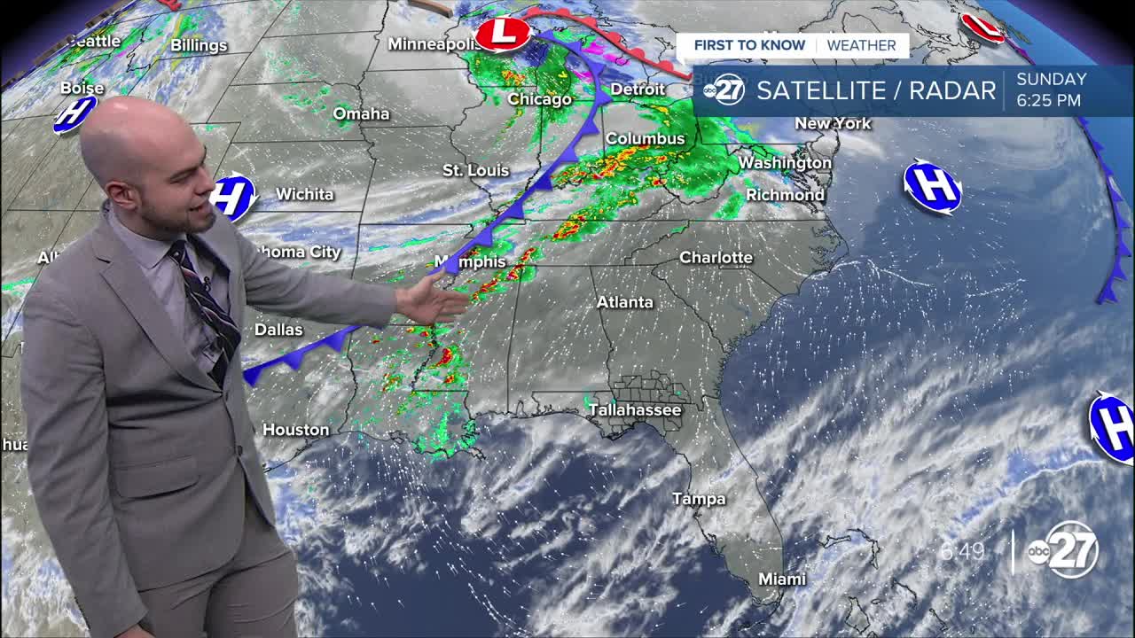


A warm and dry Sunday has brought highs into the upper 70s and lower 80s across the Big Bend and South Georgia as skies remain mostly clear. Lots of sunshine will make way for some clear periods overnight. A few passing clouds enter the area from time to time as temperatures fall through the 60s and 50s, bottoming out in the lower 50s early Monday morning.
Monday features some spotty showers around to start the day before the radar starts filling in with rain after 10 am. Throughout the day, storms will be on and off across the area with mostly cloudy skies. A storm or two has the potential to reach severe limits with damaging wind and small hail the primary threats.
While not likely, a brief tornado spin-up cannot be ruled out as these storms roll through, so make sure to have multiple ways to get alerts in case a storm or two overachieves.
Skies dry out overnight Monday into Tuesday, before some scattered storms are possible once again Tuesday afternoon.
Skies dry and clear out by Wednesday as highs return to the 80s. Rain stays away for most of the area through the end of the week and early part of the weekend, before another round of storms is possible early next week.
Want to see more local news? Visit the WTXL ABC 27 Website.
Stay in touch with us anywhere, anytime.
