

TALLAHASSEE, Fla. (WTXL) — A late cool-season high-pressure system might cause some folks to think we have reverted to February with the amount of crisp, cold air that will be felt Wednesday morning!
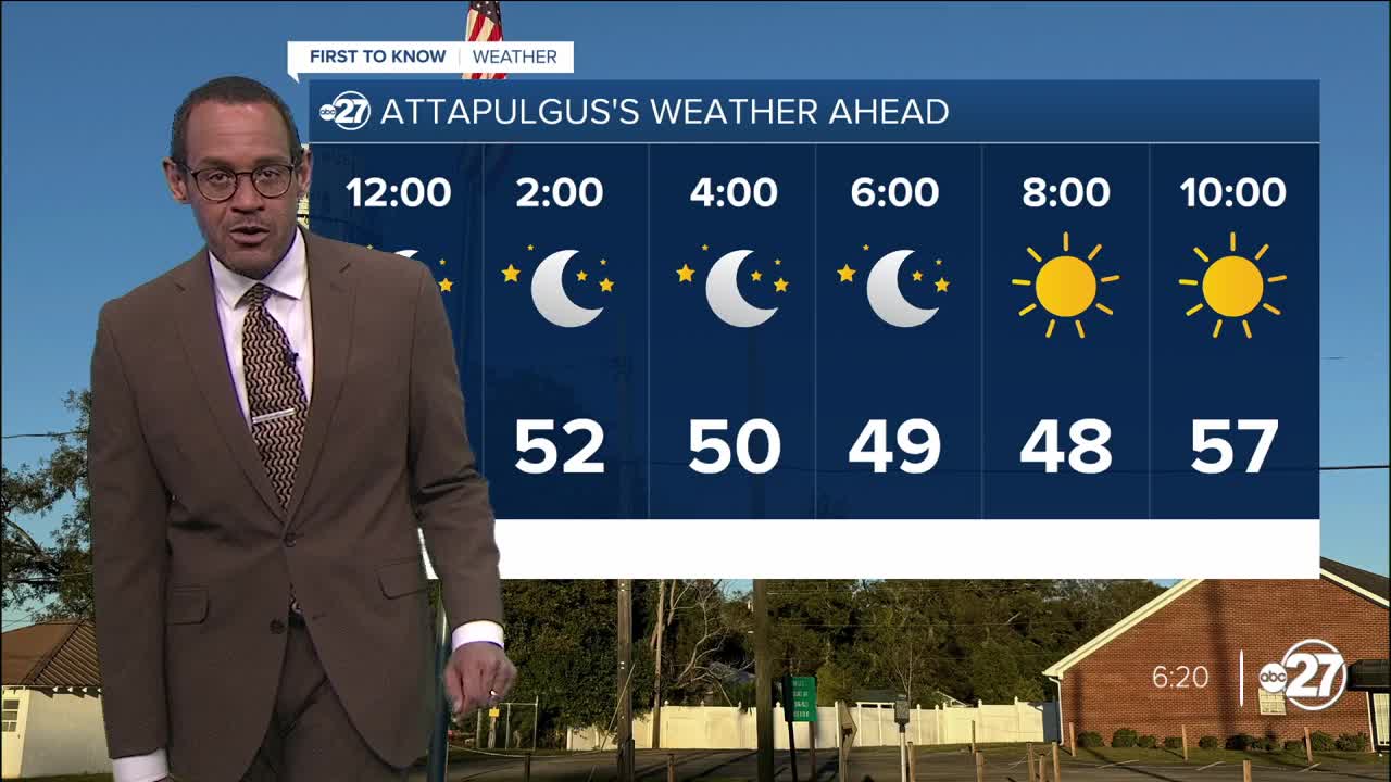
Dry air is surging in on northerly winds, sweeping aside earlier cloud cover and capping daytime temps in the 60s and 70s. This will allow temperatures to drop into the 50s well before midnight with a continued clear sky.
Morning lows will range from the mid 40s inland to lower 50s at the coast. There will be no concerns for frost or other cold-weather hazards, but there might be the need for layered clothing choices for the morning.
Sunshine will remain abundant Wednesday, getting readings to rise back to the middle 70s for afternoon highs. Humidity will remain low and winds will be light from the north and northeast.
Thursday will also be a cool morning but highs will return to the lower 80s absent any excessive cloud cover or moisture.
The next cold front for the region will scattered clouds and showers Friday, but no severe thunderstorms. We'll have another sharp cool-down that will last all weekend.
High temperatures rebound to the 80s and stay there by early next week.
--Casanova Nurse, Chief Meteorologist
Want to see more local news? Visit the WTXL ABC 27 Website.
Stay in touch with us anywhere, anytime.
