


Sunny skies and dry conditions have allowed temperatures to warm into the mid to upper 70s across the Big Bend and South Georgia Saturday afternoon. This has made for a great day to get outdoors and enjoy the weekend!
Overnight, a few passing clouds work their way into the area, but it remains mostly clear with calming winds. Temperatures fall into the 50s by 10pm, with 40s after 3am. Overnight lows bottom out in the mid to upper 40s just after sunrise Sunday.
Clear to mostly clear skies continue on Sunday, making for lots of sunshine that warms temperatures up into the 50s by 9am and 60s after 10am. The afternoon will be spent warming through the 70s with mostly sunny skies, before highs peak in the upper 70s by the late afternoon.
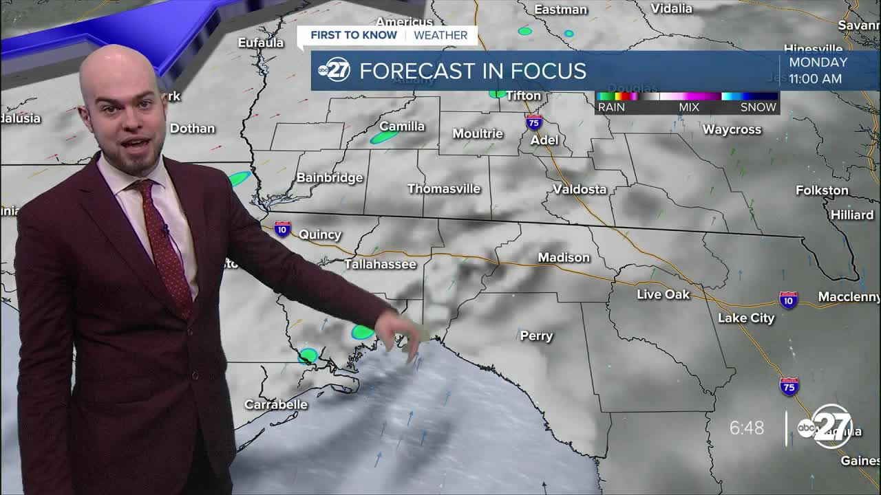
Spotty showers and storms cannot be ruled out as a cold front approaches Monday morning, but by the mid-afternoon, storms with periods of steady rain begin filling in on radar. This can make for a stormy evening commute, so make sure to bring the rain gear with you before heading to school or work Monday morning.

A 1/5 risk for severe storms is possible Monday afternoon, so make sure to have multiple ways to receive alerts if threatening weather approaches the area. A damaging wind gust and even a brief tornado cannot be ruled out, so keep your eyes to the sky in an abundance of caution.
Some showers and storms can linger into the day on Tuesday before skies clear and dry out for the middle of the week as 80s return to the forecast for highs.
Want to see more local news? Visit the WTXL ABC 27 Website.
Stay in touch with us anywhere, anytime.
